
NORTH DAKOTA Maps ![]()
![]() 1997 Terraserver on-line aerial map.
1997 Terraserver on-line aerial map.
![]() Bismarck on-line map
Bismarck on-line map ![]() - MapQuest mapping web site.
- MapQuest mapping web site.
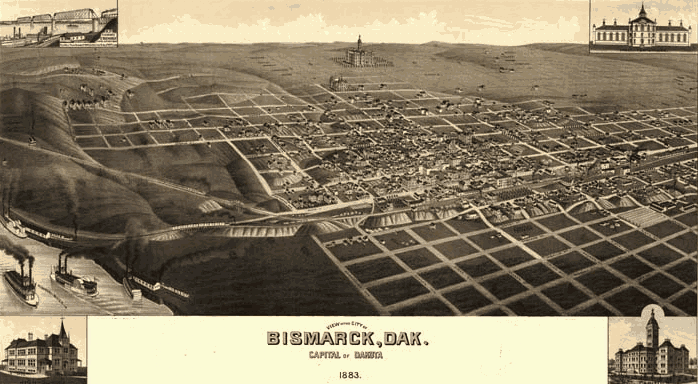
A panoramic view of the city of Bismarck, Dakota Territory (North Dakota - today) in 1883. Just 7 years earlier in 1876, General George A. Custer left Fort Abraham Lincoln directly across the Missouri River from Bismarck and led his troops to battle at the Little-Big Horn River. Bismarck is located in Burleigh County and was originally named The Crossing (1871); named Edwinton for Edwin F. Johnson, chief engineer of Northern Pacific RR (1872); and finally named Bismarck for Fursten Otto von Bismarck, Chancellor of Germany.
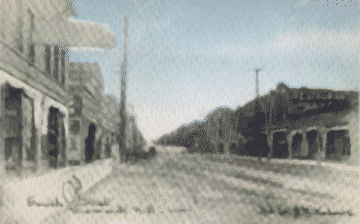 1909 - Bismarck, ND 4th Street
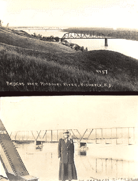 1920 - Bismarck, ND Missouri Bridge
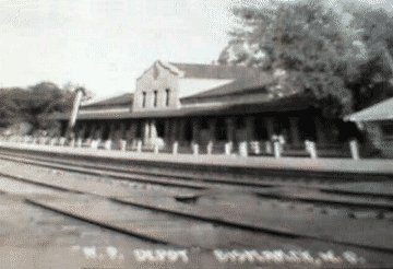 1921 - Bismarck, ND N.P. Railroad Depot
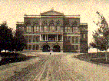 1905 - State Capitol Building - Bismarck, Burleigh Co., ND

 ST. MARY'S CATHOLIC CHURCH () - Bismarck, Burleigh Co., ND
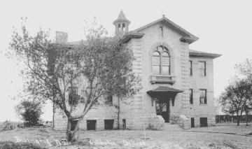 1910 - Bismarck, ND St. Mary's Grade School