 >
>  >
> 

> >
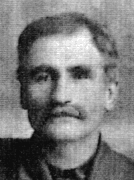 George (1867-1938)
 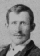 Sebastian (1876-1930)
 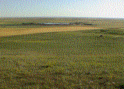 a.
a. 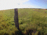 b.
b. 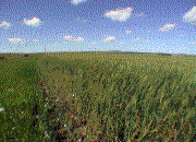 c. a) View from the hill north of the farm looking south. George ROLL's farm is the strip of land on the left side of the picture across from the dam. b) Standing on the southeast corner of the farm looking northwest. c) Standing on the southwest corner of the farm looking north.

Other NORTH DAKOTA Maps ![]()
North Dakota Towns of our Forefathers.
Steiner Township Maps ![]() where Joseph ROLL (1877-1918)
where Joseph ROLL (1877-1918) ![]() homesteaded.
homesteaded.

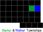
1910 WALKER TOWNSHIP, HETTINGER COUNTY, NORTH DAKOTA MAP WITH TOWNSHIP RANGES
In 1910, George ROLL (1867-1938) owned the blue-shaded area in section 20, and Sebastian ROLL (1873-1930) owned the red-shaded areas in sections 17, 19, and 20. Notice Willa was located north of the homesteads in section 6.
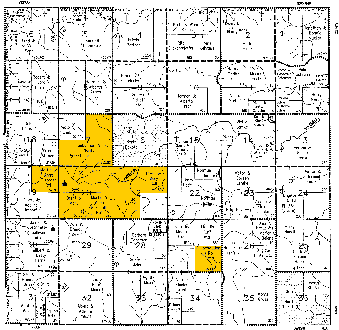
2000 WALKER TOWNSHIP, HETTINGER COUNTY, NORTH DAKOTA MAP WITH TOWNSHIP RANGES
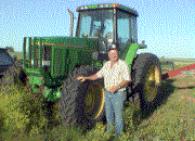 Sebastian T. ROLL (1936-) standing by one of his tractors. Seb and his brother, Martin, own the yellow-shaded land on the 2000 Walker township map.
Other NORTH DAKOTA Maps ![]()
North Dakota Towns of our Forefathers.