
ROLL Family Homestead Map
 >
>  >
> 

 ROLL Reunion
[
TRANSLATE:


 ]
]
 Other NORTH DAKOTA Maps
North Dakota Towns of our Forefathers.
Mott-Homestead Aerial View (575K size)
 2001 Terraserver on-line aerial map (view "Topo", then change to "Aerial").
Mott & Burt on-line map  - MapQuest.com mapping web site.
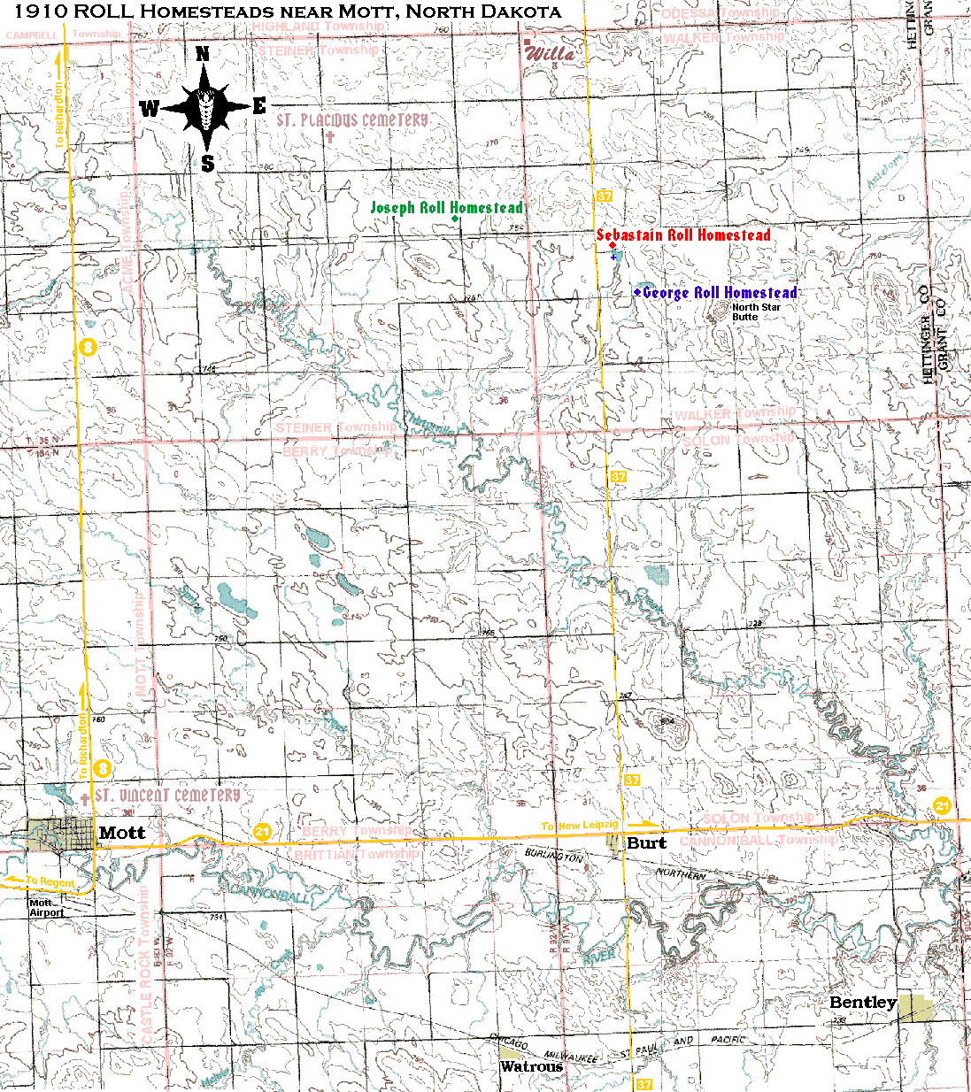
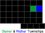
MAP OF THE MOTT/BURT, NORTH DAKOTA AREA WHERE THE THREE EMIGRANT ROLL BROTHER'S HOMESTEADED.
- Please refer all comments, changes, updates and suggestions to Mitch Roll at mitch@@rollintl.com
- This map shows The North Dakota towns and farms where the 3 emigrant ROLL brother's homesteaded around the turn of the century.
 George ROLL (1867-1938)
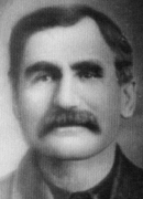
  imigrated from South Russia with his wife and three sons in 1903 and homesteaded in the Walker Township (Township 135 North, Range 91 West, Section 20). George first built a rock house on Sebastian ROLL's farm (see little blue "+" below Sebastian's residence). Lawrence and Ella (KOFFLER) ROLL took over the farm. He sold it and moved to another location in the Solon Township.
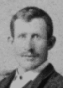 Sebastian ROLL (1873-1930) imigrated from South Russia with his cousin, Adam S. MISCHEL, in 1891 and homesteaded in the Walker Township (Township 135 North, Range 91 West, Section 20). Mike and Rosa (RIECHERT) ROLL took over the farm in the late 1920's, followed by Sebastian and Norita (LUTZ) ROLL, and currently by Brent and Mary ROLL.
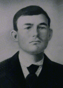 Joseph ROLL (1877-1918) imigrated from South Russia in 1893/4 and homesteaded in the Steiner Township (Township 135 North, Range 92 West, Section 14). After Joe's early death, his eldest son, Sebastian S. ROLL, briefly worked the farm with Jake and Mary (ROLL) HEINZMAN.
- Notice the two locations, Willa and St. Placidus, on the north side of the map. Willa was a very popular place between 1901 and 1934. It was established in 1901 under the name "Rosenfeld" in the Walker Township 135 North, Range 91 West, Northwest quarter of Section 6. The Washington, D.C. postal service did not find this German name acceptable so they changed it to Willa in 1904. Willa was actually an outpost with a general store, post office, smithshop and 1 or 2 homes. The village died after the store owner, Mr. Henry Weber, moved his business to St. Placidus in 1934. Today, the only remains are a few foundations and stones. With the first church built in 1904, St. Placidus was a very promising location with a store, nice church & rectory, Catholic school, and widower's residence. St. Placidus Catholic Church was tore down in the 1980's after vandals ransacked it. The cemetery remains.
Other NORTH DAKOTA Maps
North Dakota Towns of our Forefathers.